
Mount Muhabura, also known as Mount Muhavura, is an extinct volcano in the Virunga Mountains on the border between Rwanda and Uganda. At 4,127 meters (13,540 ft) Muhabura is the third highest of the eight major mountains of the mountain range, which is a part of the Albertine Rift, the western branch of the East African Rift. Muhabura is partly in the Volcanoes National Park, Rwanda and partly in the Mgahinga Gorilla National Park, Uganda.
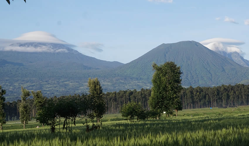
The name Muhabura means “The Guide” in the local language, Kinyarwanda. From the top of the volcano one can enjoy fantastic views over the other five volcanoes and the “twin lakes”. There is a crater lake near the summit and the vegetation is usually drier than in other areas of the Volcanoes National Park, with giant heather thriving on the volcano’s slopes. It can be seen from many parts of Uganda and Rwanda because of its slope.
The Mount Muhabura Hike
The Mount Muhabura hike will typically take a full day from 6 to 8 hours depending on your hiking experience. The trek starts at 07:00 am from the park headquarters in Kinigi, from where visitors will have to drive or be driven to the base of the volcano. Permits can be purchased on the day of the climb, no advance booking is necessary, and porters can also be hired for the trek.
Muhabura hiking fees.
For park fees and rates for the hike please contact our office so that we can arrange for you all it takes for your great hike experience, from transportation, meals and accommodation. All-inclusive package, you don’t need to hustle, we get you covered. You can have an overnight at Musanze for easy access to the park in the morning for the hike, or we can transport you very early in the morning at 4.30 am so that you’re ready by the time of starting your day hike.